Wednesday, March 29, 2017

How Fast Can a Chesapeake Light Craft Northeaster Dory Sail?

I can't explain what pushes me to wonder how fast my Northeaster Dory can sail. At 100 pounds hull weight and 15 feet waterline with 62 square feet of sail area, it's bit like a Windsurfer longboard, but I doubt it has the same top speed. The mast is located toward the front of the boat so in high wind conditions it's hard to get the bow far enough out of the water to initiate true planing on the aft part of the hull.

That said, the supposed "hull speed" for a 15-foot displacement hull is 6 mph, and I routinely sail the dory faster than that. I have had long(ish) reaches at 7 - 8 - 9 mph. And I always thought I could conceivably get the boat up on a plane.

I'm no longer sure I'd be able to tell whether or not the boat is on a plane, but today I sailed in conditions where the average wind speed was in the 10 - 15 mph range with brief gusts in the 20 - 25 mph range. I touched 13 mph in three gusts and had good runs at 9 mph. I thought the boat was manageable in the strongest gusts so it may be capable of extended runs at 13 mph or more. . . . But I'm not willing to be out on the water when the average wind speed is 20 and gust are 35. Even if I could manage the boat in those conditions, I'm not sure I could get the sail up safely or douse it without taking a drink.

13 mph is a nice number. I'll take it. . . . The following graphs provide raw data on boat speed and wind speed. Make of it what you will.
GPS-measured Speed - 2PM to 3 PM


Note Wind Speed from 2PM to 3PM
Note: In November of 2017 I had the boat out on another rather windy day and filmed a bit of footage. Take a look and see what you think. Does the CLC Northeaster Dory Plane? You Be the Judge.

Sunday, March 12, 2017

Buffalo River Trail -- Steel Creek to Ponca


I tend to consider the section of the Sylamore Creek Trail from Gunner Pool to Barkshed as one of the best hikes around. If that's my measuring stick, then the Buffalo River Trail from Steel Creek to Ponca measures up. The Steel Creek Campground is a lovely place to start and finish a hike -- and a great place to camp for the night. The trail begins with a steep climb to the top of the ridge and then gradually angles down to Ponca over the course of more than a mile.

Along the way there are terrific views, lovely rock formations, trickling cascades, and pretty wildflowers.


The Villines cabin and farm buildings at Ponca is a nice place to have a snack, explore, and imagine the life of early settlers in the area.

Here is a link to a map of the hike with additional information and pictures.

Wednesday, March 1, 2017

Bull Shoals White River State Park Flowering Plants in April

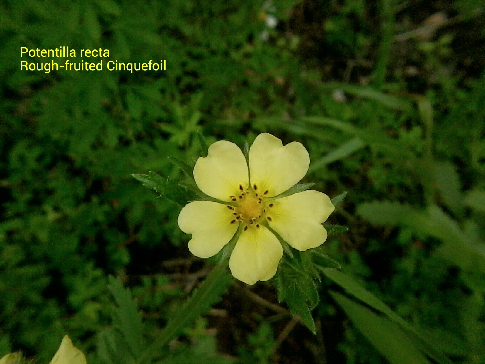
Spring is finally here! It is time to get out into the woods and look for flowers. These are a few of the kinds of wildflowers you may expect to find in the Ozarks. All of these wildflowers are found in BSWRSP in April (sometimes March and May as well). Clicking on the link below will take you to a Google Map showing exact GPS locations where these flowers have been found in the park.

Google Map of Wildflowers in BSWRSP in April

Of course, wildflowers move around as conditions change, and they are possible to find in many more locations than those I have marked. Still, the map should lead you to some promising places to start your wildflower observations. If you use Google's My Maps app on your phone, you will be able to see your location relative to the observed location of the various flowers.